Lake Somerville Trailway Photos
Return to Lake Somerville Trailway
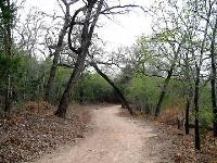
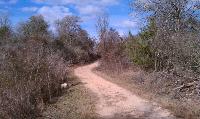
Trail was mostly flat. (Photo by
Eveline)
We started near here. (Photo by
Eveline)
The trail takes you around and past the pond. (Photo by
Blaze)
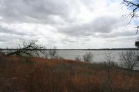
The trail offers nice views of the lake. (Photo by
Blaze)
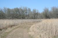
This part of the trail is simply mowed out of the grass. (Photo by
Blaze)
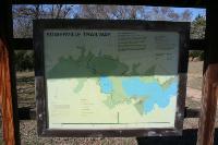
This display map shows the Lake Somerville Trailway. (Photo by
Blaze)
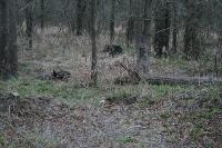
I ran into a family of tempermental javelinas along the trail. (Photo by
Blaze)
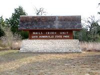
This is the sign to the park. (Photo by
Blaze)
This is a view of the lake. (Photo by
Blaze)

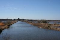
This creek is a popular fishing spot. (Photo by
Blaze)
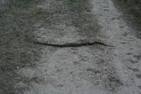
I encountered this snake on the trail. (Photo by
Blaze)
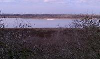
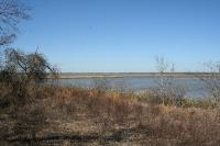
Though water levels were low (Flag Pond was almost totally dry) Lake Somerville was still visible from the trail here and there. The white line in the middle of the photo in the distance is a large flock of birds enjoying the water. (Photo by
Austin Explorer)
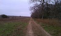
Near the mid section of the trailway this straight shot divides the tree line from the grass line. (Photo by
Austin Explorer)
The trail is mostly a jeep trail or dirt road though a few side trails are more narrow. (Photo by
Austin Explorer)
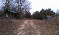
For a somewhat nondescript trail in a plain state park there are some well maintained facilities to be found, including this restroom and shade shelter. (Photo by
Austin Explorer)
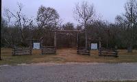
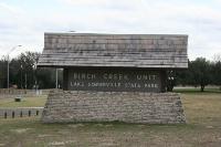
The start of the trail has an impressive entrance and sign. (Photo by
Austin Explorer)
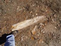
Lots of fossolozed wood and logs everywhere (Photo by
jmitchell)