South Shore Playground to Armadillo Ridge Figure 8

Headin' North
Looking Northwest from the southern end of Winding Snake Trail.
User: MikeHikes - 12/26/2014

Location: San Angelo State Park

Rating: 5stars
Difficulty: 1point5stars  Solitude: 4stars
Miles Hiked: 9.40 Miles  Elapsed Time: 4 hours, 10 minutes

Comments:

Out     Playground parking area > Chaparral > Winding Snake> connecting trail (West) > Roller Coaster > West Potts Creek > Armadillo > East Potts Creek > Burkett Trail > Burkett Park        5.9 miles

Return  Burkett Park > connecting trail (West) > Lanky Lackey > Nature Loop > Tasajilla Flats > Playground parking area          3.5 miles

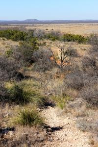
Temps in the 60's, sunny and a light wind.  Been fighting a respiratory issue and hadn't hiked in awhile so did it today AND this hike marks my logging over 500 miles this year - next year will be 550 or more miles!

NOTES

Water, shade, info kiosk and toilets available at Playground parking area.

Water, shade, info kiosk and dry toilets available at Burkett parking area.


Log Photos
Headin' North
Area around San Angelo State Park
Recommended Item
Recommended Item Official Guide to Texas State Parks and Historic Sites: New Edition
Laurence Parent
List Price: $27.95 Your price: $29.95 Buy Now
Since it was first published in 1996, Official Guide to Texas State Parks and Historic Sites has become Texans’ one-stop source for information on great places to camp, fish, hike, backpack, swim, ride horseback, go rock climbing, view scenic landscapes, tour historical sites, and enjoy almost any other outdoor recreation.