Park Mid-Section Western Loop
Burkett Park has a parking area, dry toilets, water for humans and horses and a covered picnic table with a few more picnic tables down the road. Good place to begin many hikes in the South Shore.
Log Photos
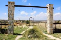
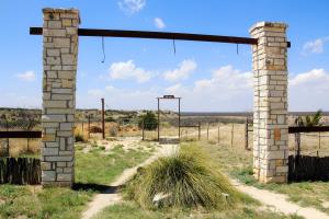
Burkett Park
Area around San Angelo State Park