North Shore Loop
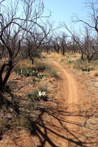
The Badlands Trail is mostly dirt and is easy to follow.
Log Photos
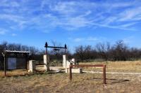
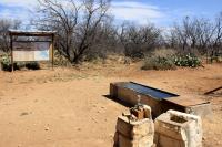
Bell's Trailhead at the North Shore
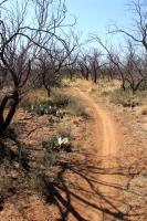
North Shore Beginning of Dinosaur Trail
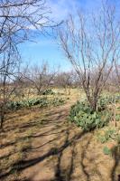
Along Dinosaur Trail
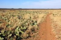
North Shore Dinosaur Trail - Wide open spaces
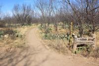
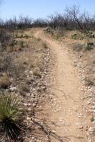
Badlands Trail Beginning
5 Points Junction
Javalina Trail
Area around San Angelo State Park