Interpretive Center Trail
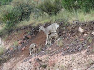
Mom and the kids.
Log Photos
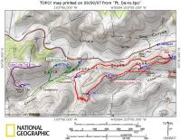
Trail map.
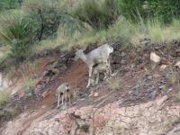
Mom and the kids.
Interpretive Center Trail
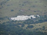
View of the lodge.
Interpretive Center Trail
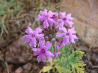
trailside flowers
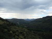
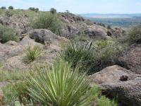
Interpretive Center Trail
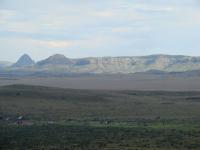
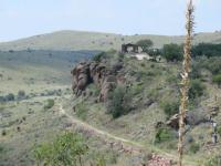
Sleeping Lion Mountain
Interpretive Center Trail
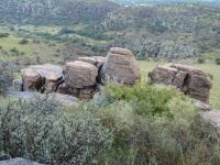
Great place for a break!

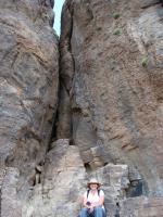
Going through the pass.
Interpretive Center Trail
Interpretive Center Trail
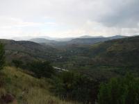
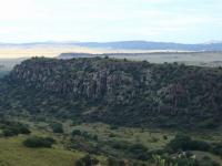
Area around Davis Mountains State Park