The West Bank (Gully Madness)
The trail on the west bank does not get as much traffic as the east bank, but it's equally as easy to follow.
Log Photos

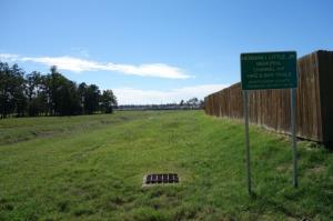
Trail Sign
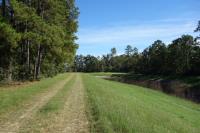
View Of The Trail
Another View Of The Trail
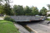
End Of The Road

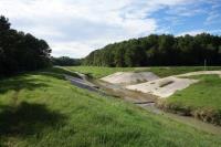
Flood Water Detention Reservoir