This log covers several locations, including Lawrence Park, the Heights Hike & Bike Trail, and the White Oak Bayou Hike & Bike Trail.
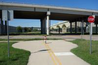
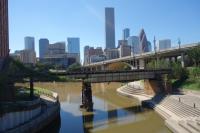
I started my hike at Lawrence Park and headed east on the Heights Hike & Bike Trail all the way to downtown Houston (N. San Jacinto St.). I turned around here because this is the intersecting point where I had hiked past the other day when I hiked the Buffalo Bayou Trail. You can read a log of that hike here.
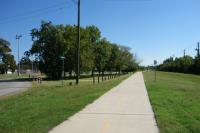
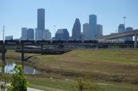
On the way back (west), I branched off on the White Oak Bayou Hike & Bike Trail and hiked along the White Oak Bayou all the way to Stude Park. I walked around the park on the various trails and then crossed over the bridge at Studemont St. onto the South bank of the White Oak Bayou along I-10. This section is currently being developed and is not officially open, but I followed the dirt trail that will soon be paved. I then walked around until I rejoined the Heights Hike & Bike Trail. When I reached Nicholson St., I turned right (North) and walked to the end of the bike trail at 26th St., then turned around (South) and walked back (West) to 7th St. before finishing my hike at Lawrence Park.
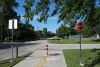
I found this hike enjoyable and safe. There was a lot of bike traffic and some joggers since I did this hike on a Sunday afternoon, but it gave me a chance to get some distance in and tour the nice, affluent, historic neighborhood of Houston Heights.