A CCC Legacy
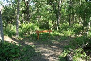
Signs like these are placed at all prominent trail intersections. This is the cutoff for the Wild Rose Loop.
User:
Blaze
- 5/3/2013
Location:
Lockhart State Park
Rating:

Difficulty:

Solitude:
Miles Hiked: 3.30 Miles
Elapsed Time: 1 hour, 11 minutes
Log Photos
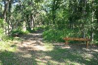
Clear Fork Trailhead
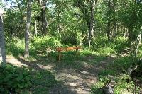
Good Signage
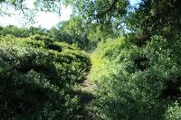
Trail Overgrown
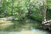
Clear Fork Plum Creek
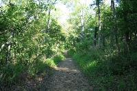
View Of The Trail