First Half OK, Second Half Disastrous
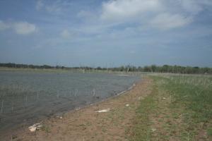
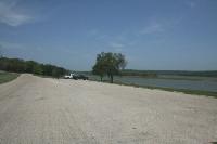
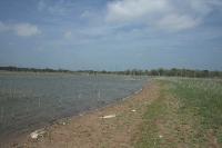
This is one of the inlets I had to navigate around. There is no trail.
User:
Blaze
- 4/15/2013
Location:
Hopewell Trail
Rating:

Difficulty:

Solitude:

Miles Hiked: 20.00 Miles
Elapsed Time: 7 hours, 20 minutes
Log Photos
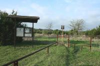
Trailhead
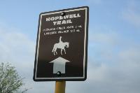
Terrible Signage
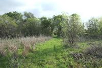
View Of The Trail
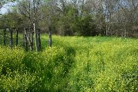
Obstacles
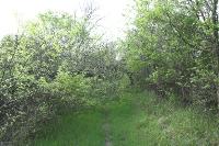
Trail Overgrown
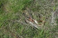
Snake In The Grass
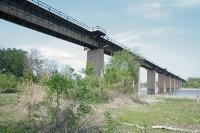
Train Bridge
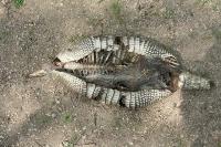
Dead Armadillo
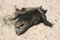
Dead Feral Pig
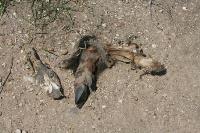
More Dead Animals
Plowman Creek Park
Navigating Along The Waterfront