Eastern Section Only
TH7 is on the I-45 service road just north of Park Road 40 (Exit 109).
Log Photos
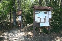
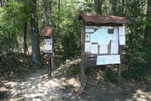
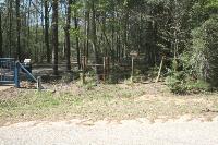
Trailhead #7
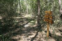
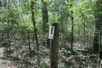
Excellent Signage
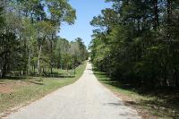
Shortcut To Huntsville State Park
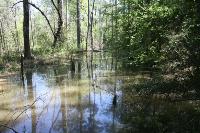
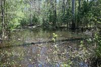
Alligator Branch
Pond
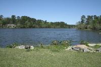
Camelia Lake
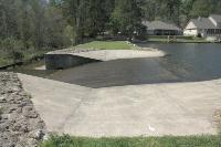
Spillway
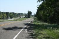
Road Walk (I-45 Service Road)
Phelps Trailhead
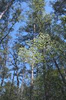
Dogwood Flowers
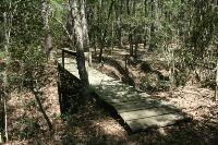
Bridge
Road Walk (Evelyn Lane)
Area around Lone Star Hiking Trail - Huntsville Section