Get Lost!

This is the sign to the entrance of the park off Hufsmith Road.
User:
Blaze
- 2/24/2013
Location:
Burroughs Park
Rating:

Difficulty:
Solitude:

Miles Hiked: 7.50 Miles
Elapsed Time: 2 hours, 30 minutes
Log Photos
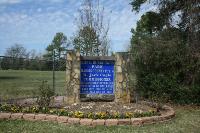
Entrance Sign
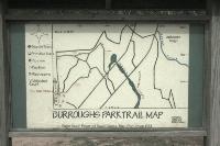
Trail Map #1
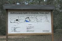
Trail Map #2
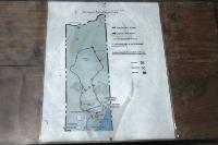
Trail Map #3
Trailhead
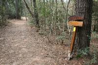
Direction Sign
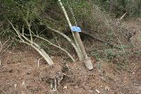
Another Uprooted Sign
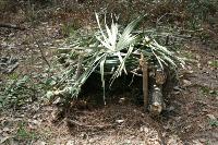
Trap
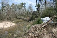
Spring Creek
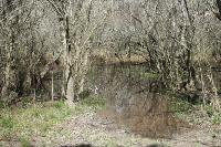
Wetlands
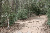
Area around Burroughs Park