Hike, Bike, Ride Horses, Fish Or Canoe At Spring Creek
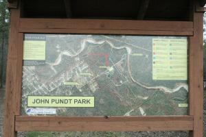
This display shows the park layout and the various trails running through it.
User:
Blaze
- 2/18/2013
Location:
Pundt Park
Rating:

Difficulty:

Solitude:

Miles Hiked: 2.20 Miles
Elapsed Time: 1 hour
Log Photos
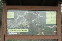
Park Layout And Trail Map
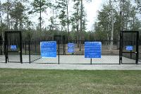
Dog Park
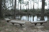
Small Pond At The End Of The Oxbow Trail
Canoe Launch
Creekside Trail
Oxbow Trail
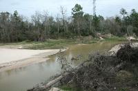
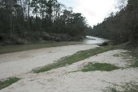
Spring Creek
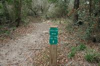
Some Trails Intersect With The Spring Creek Greenway Trail
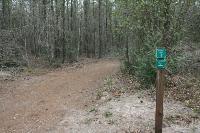
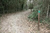
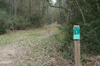
Excellent Signage