Lots Of Hike/Bike Trails
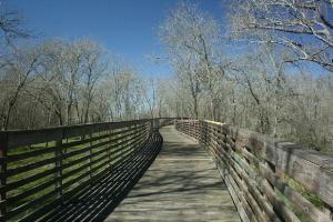
This is a view of the long, beautiful, wooden bridge that spans Buffalo Bayou along the George Bush Hike/Bike Trail.
User:
Blaze
- 2/17/2013
Location:
George Bush Park
Rating:

Difficulty:

Solitude:
Miles Hiked: 19.80 Miles
Elapsed Time: 6 hours
Log Photos
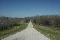
Noble Road Trail
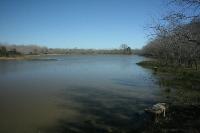
Scenic Ponds
Primitive Trails Could Get Muddy
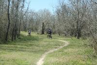
Noble Road Trail Popular With Mountain Bikers
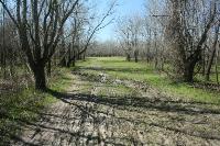
Muddy Patches Along The Noble Road Trail
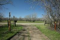
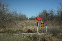
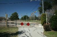
Juncture Of The Noble Road And George Bush Hike/Bike Trails
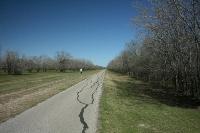
George Bush Hike/Bike Trail
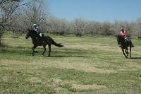
Equestrian Fields
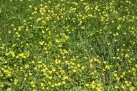
Beautiful Wildflowers
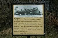
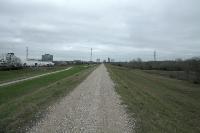
Texas Railroad
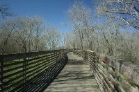
Long Wooden Bridge Over Buffalo Bayou
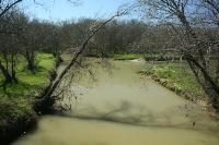
Buffalo Bayou
Nice Birdwatching Spot
End Of The Trail At Highland Knolls
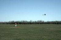
Model Airplane Fields
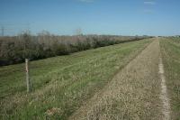
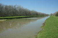
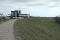
Barker Dam Service Road
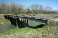
Old Wooden Bridge
Buffalo Bayou Dam
Another View Of The Barker Dam Service Road
Hike The Trail Or Service Road

Blue Heron
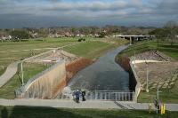
Area around George Bush Park