A Long Trail - Up And Back
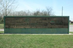
This is the sign you'll see from Saums Road.
User:
Blaze
- 2/15/2013
Location:
Cullen Park
Rating:

Difficulty:

Solitude:

Miles Hiked: 8.00 Miles
Elapsed Time: 2 hours, 45 minutes
Log Photos
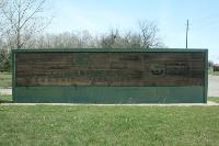
Entrance Sign
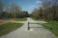
Starting/Ending Point Of The Trailhead

South Mayde Creek
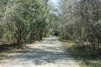
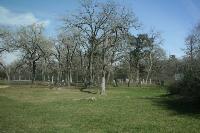
View Of The Trail
Koch-Schmidt Cemetary

West Houston Municipal Airport

Long Stretches

Turnaround Point