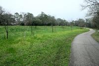
Walk Along The Bayou
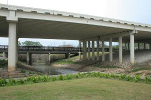
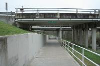
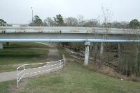
Here's the massive bridge for Beltway 8 over Buffalo Bayou. If you look closely at the base of the pillars, you can see how high the water gets when it floods.
User:
Blaze
- 2/12/2013
Location:
Terry Hershey Park
Rating:

Difficulty:

Solitude:
Miles Hiked: 11.00 Miles
Elapsed Time: 3 hours, 30 minutes
Log Photos
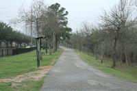
Blue Jay Trail
Buffalo Bayou
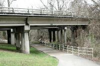
Eldridge Parkway Bridge
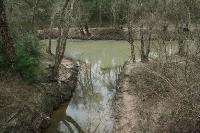
Drainage Into Buffalo Bayou
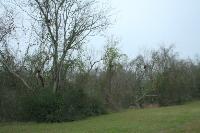
Bird Nest City
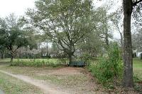
Beautiful Rest Stops
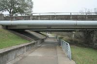
Dairy Ashford Bridge
Pretty Wildflowers
Kirkwood Bridge
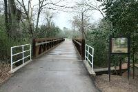
Jake Hershey Bridge
Wilcrest Bridge
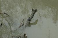
Turtle
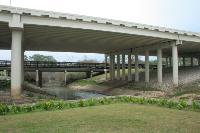
Beltway 8 Bridge
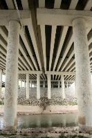
Massive Bridge
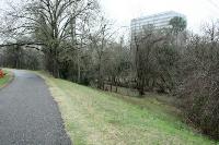
Area around Terry Hershey Park